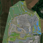
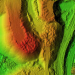
Create accurate site models, digital terrain models and interactive 3D maps to support planning, design and stakeholder engagement.
Capture detailed terrain information quickly and safely across large and difficult access sites.
Support ecological surveys, identify potential defects and inspect assets that would otherwise be difficult or costly to access.
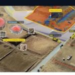
Track project progress, provide regular reporting and allow clients to remotely review works from anywhere in the world.